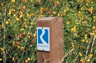
Rheinsteig marking on a tree | © Dominik Ketz / Rheinland-Pfalz Tourismus GmbH

Markings

Absolutely no chance of getting lost

The RheinSteig is wonderful for wandering. The paths are marked at frequent intervals in accordance with German Hiking Association and German Hiking Institute waymarking guidelines.

Where paths cross, the marking indicates clearly which way the correct route continues. If a change of direction is necessary, a plaque with an arrow situated just before or at the crossing indicates the turn. Confirmation signs follow immediately after.

Safety markings are also frequent. They are painted or sprayed signs, plastic plaques on marker posts or stickers.

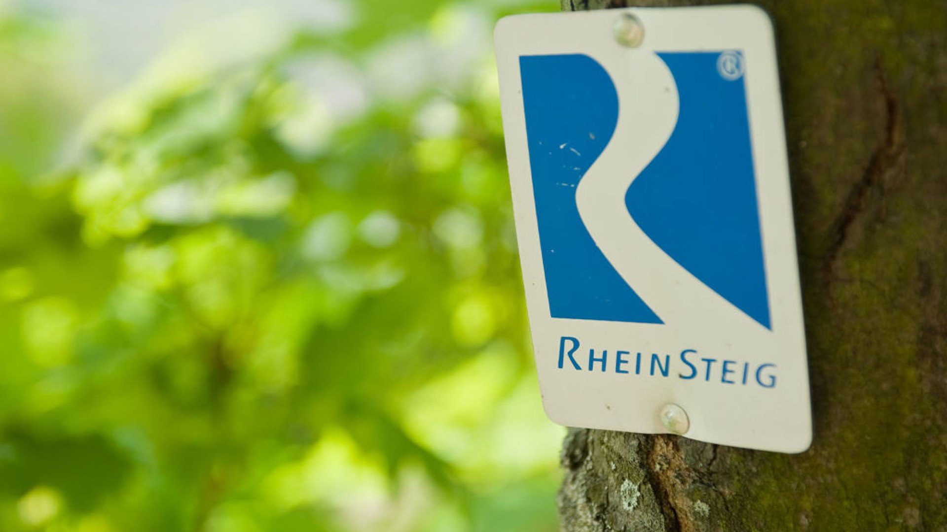
Markings on the Rheinsteig

Main trail marking | © Romantischer Rhein Tourismus GmbHA white R on a blue background stands for "Rhine" and also symbolises the meandering course of the river which can be seen from every viewing point.

Access routes to the Rheinsteig

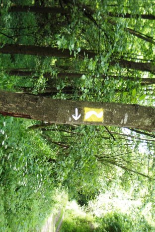
Access route marking | © Romantischer Rhein Tourismus GmbHHere the same symbol is used on a yellow background. These routes link the RheinSteig to town or village centres and to railway stations. They guide walkers to rail links or to their accommodation quickly after their walk and arriving travellers quickly to the RheinSteig.

Links to other hiking trails

There are other a number of other hiking trails along the Rhine, though the waymarking on these may not always be well maintained. Thus as you walk the RheinSteig you will come across the Rheinhöhenweg, the Limes-Wanderweg, the Gebückwanderweg, the Rhine Panorama Way, the Rheingau Riesling Path and local nature trails. If you are planning a round trip, use the hiking maps to find your route.